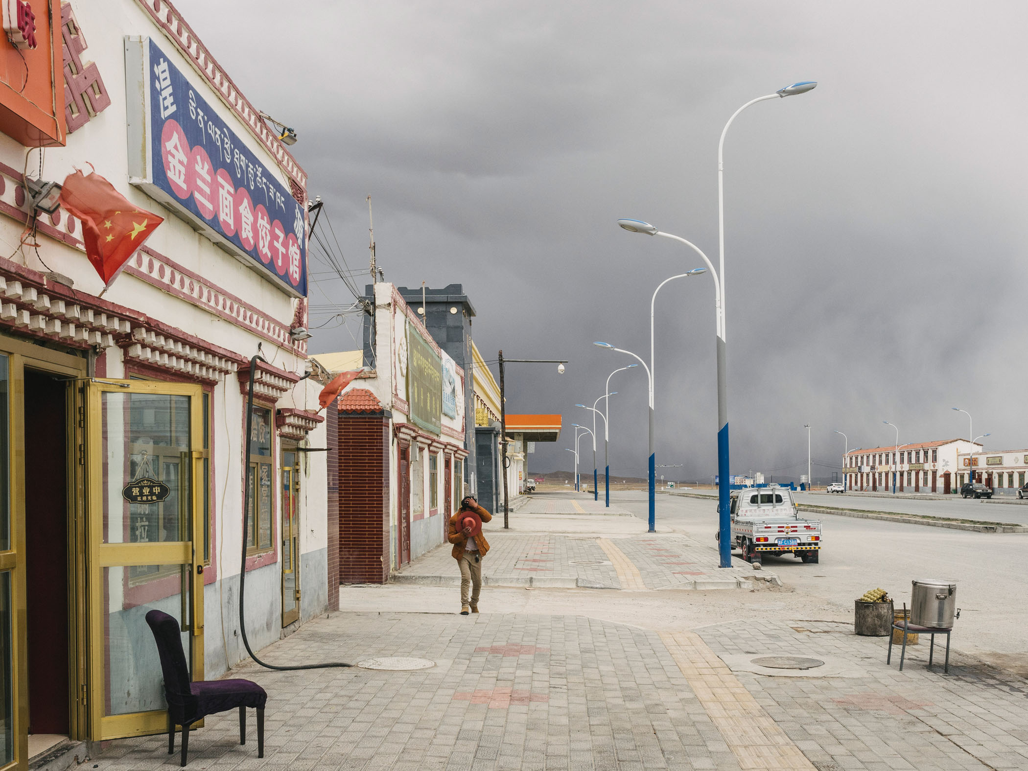
The Tibetan Plateau spans an area five times the size of Spain and has an average elevation of 4,500 metres.
After the Antarctic and Arctic, the plateau has the third highest reserves of ice, a fact that leads scientists to call it the “Third Pole”. Like the North Pole, the Tibetan Plateau has been warming much faster than the rest of the world over the past 50 years and many of the 46,000 glaciers on the Tibetan plateau are shrinking.
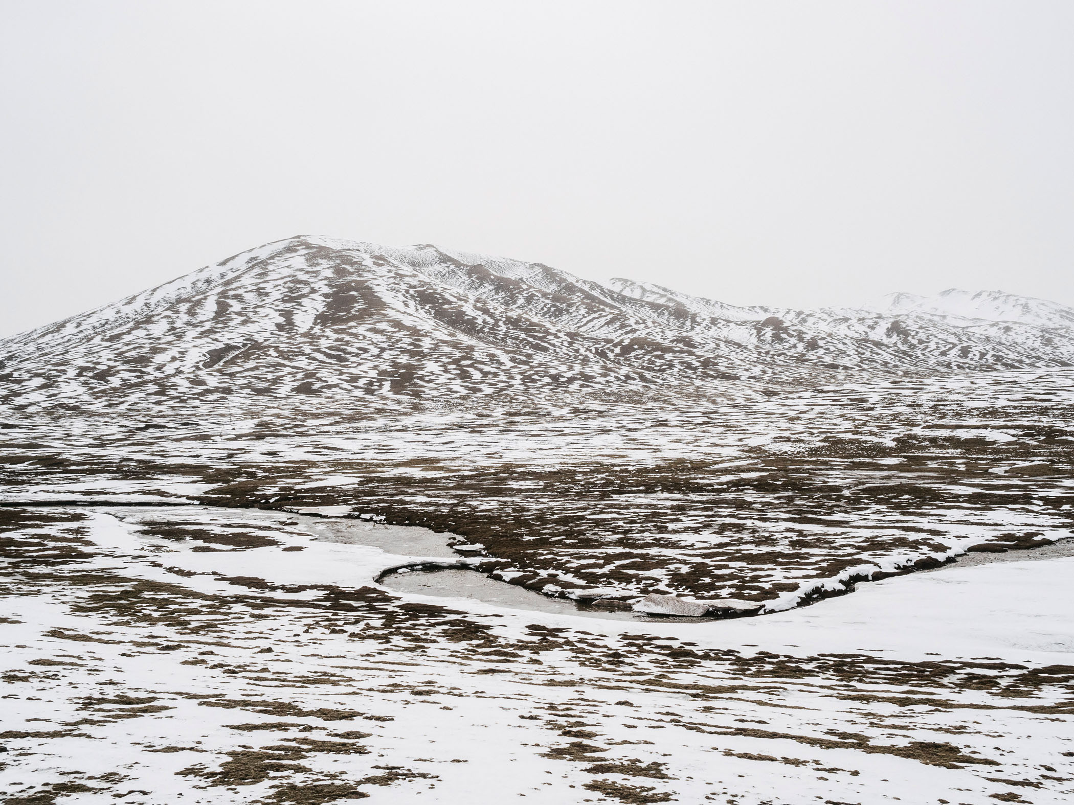
A snowy landscape in Madoi county on the Tibetan Plateau. 2018
What happens on the plateau matters because it regulates the Asian weather system, concocting the annual monsoonal rains and steering westerly winds as far as the Mediterranean. Its lakes, glaciers and wetlands act like a huge water tower for all of Asia, supporting about 1.4 billion people downstream.
In 2018, Ian joined independent Chinese geologist, explorer and environmental activist Yang Yong in a mission to the Tibetan plateau.
Yang Yong has been surveying the source of China’s major rivers on the plateau for the past 30 years, monitoring certain regions near the headwaters of the Yellow River in Madoi County where desertification has advanced significantly. Yang Yong’s goal, he says, is the gathering of scientific data on the Tibetan Plateau in order to understand, and therefore protect, it more effectively.
In 2000 the Sanjiangyuan National Nature Reserve (SNNR), an area roughly the size of Britain, was formed. It contains the headwaters of China’s three major rivers – the Yellow, Yangtze and Mekong – and is intended to address the drying up of the Yellow River which failed to reach the sea for several months in the 1990s after decades of overuse and pollution.
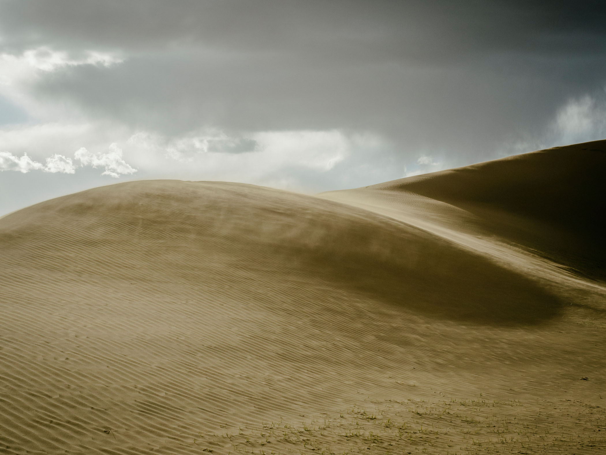
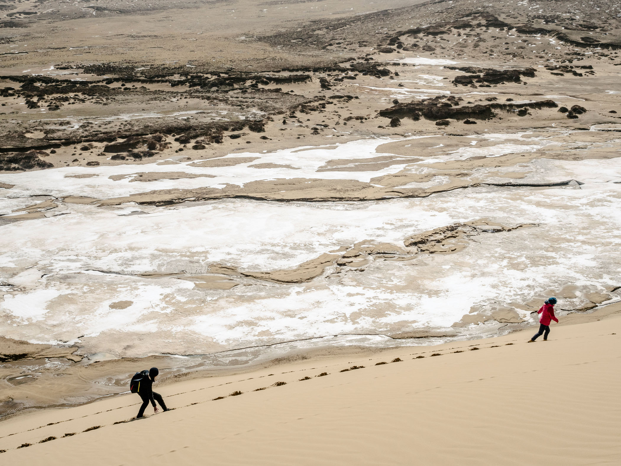
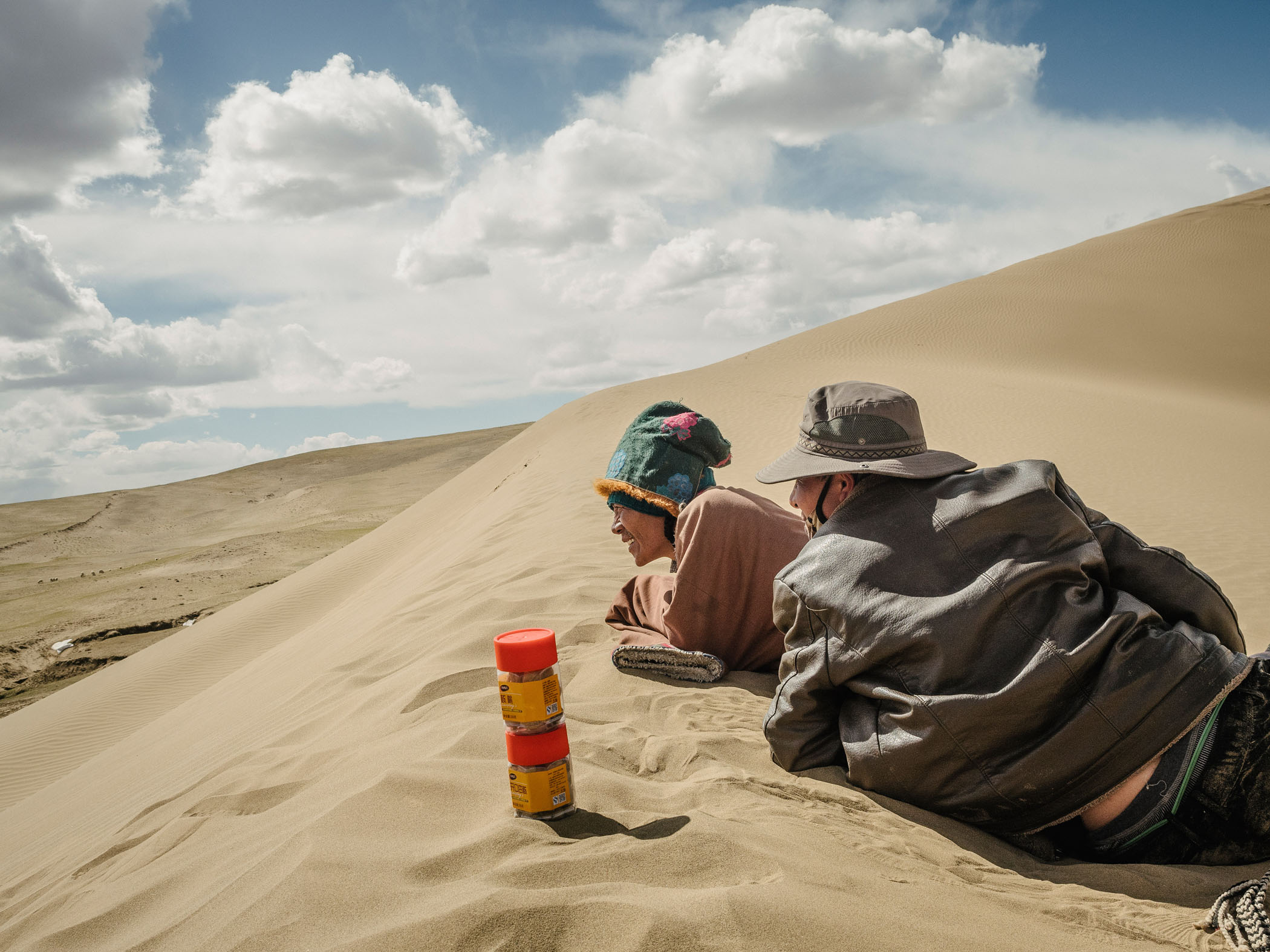
Strong winds blow across a sand dune. A few tufts of grass in the foreground mark the edge of the grassland and where the desert begins, Qinghai Province, 2018.
There are many causes of desertification on the plateau, natural and man-made. Geology, climate change, rodent damage as well as human activities all play a role in exacerbating desertification. The semi-arid and fragile nature of this land is unable to sustain high densities of human and wildlife populations.
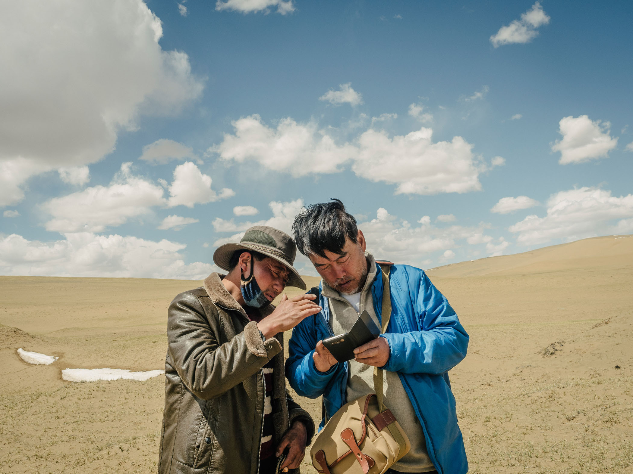
Yang Yong talks to a Tibetan herdsman about their location on a satellite map. He says "Although satellite imaging has documented the advance of these deserts above an altitude of 4000m there are rarely any expeditions or studies made on these newly formed deserts."
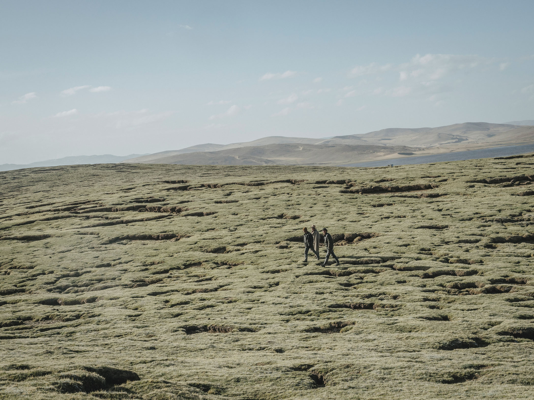
The plateau’s vulnerability is due to its altitude and cold, dry climate. With little vegetation to prevent erosion and increasing melting of permafrost loosening the top soil, the already fragile ecosystem is susceptible to further damage from overgrazing and burrowing rodents.
A 2015 Chinese Academy of Science (CAS) study reports that over the last three decades an extra 2,745 square kilometres of land has been claimed by desertification in the headwaters of the Yellow River. In 2012 a satellite image of a new desert forming in Madoi county was the motivation for Yang Yong’s first visit.
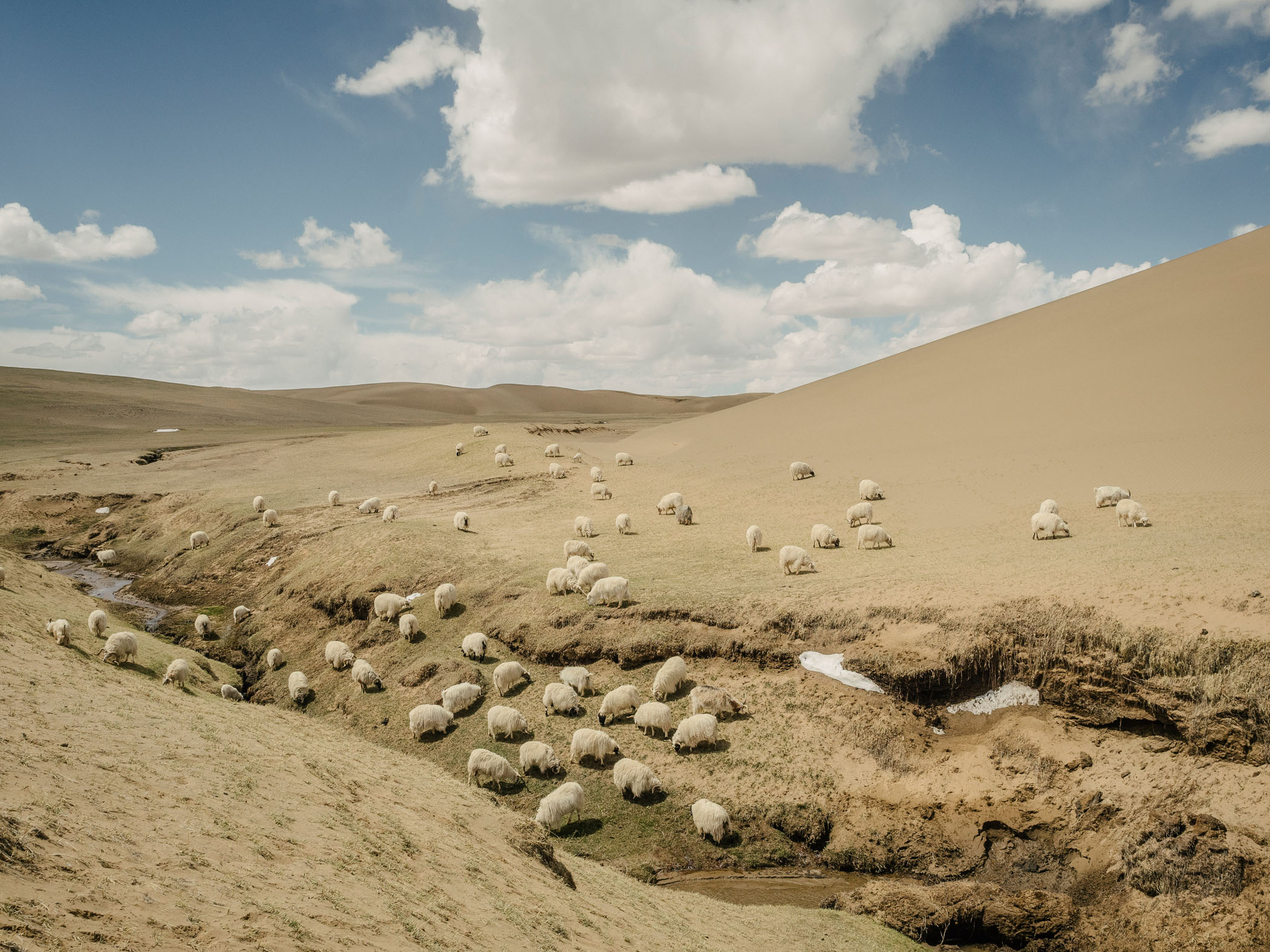
Sheep graze on the edge of a receding grassland, Qinghai Province, 2018.
Since then these scattered patches of degraded land have connected up to form larger deserts. Today, the county is the most severely impacted of the many similarly affected in the region with 35% of its total land of 25,000 km2 now desertified.
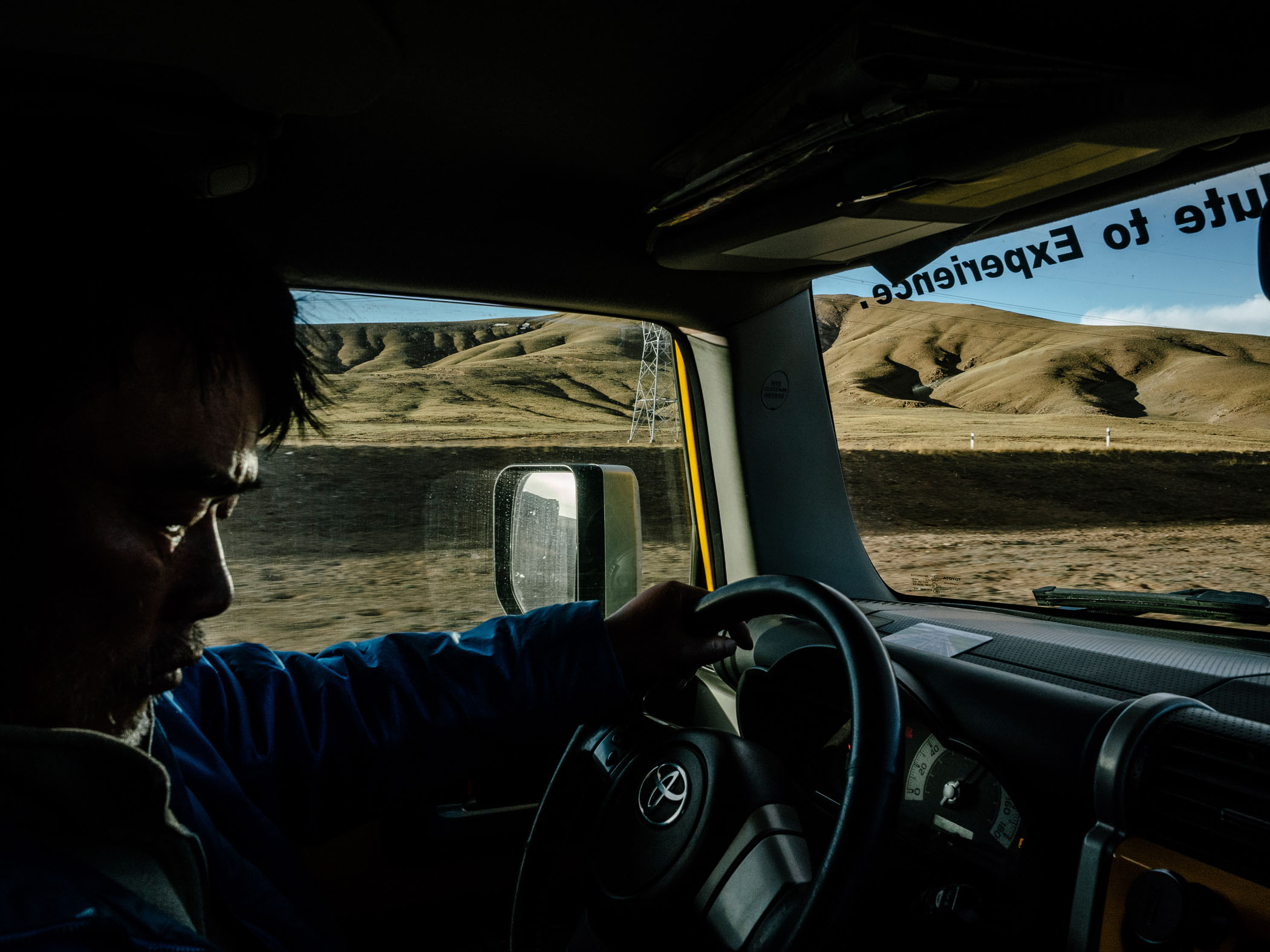
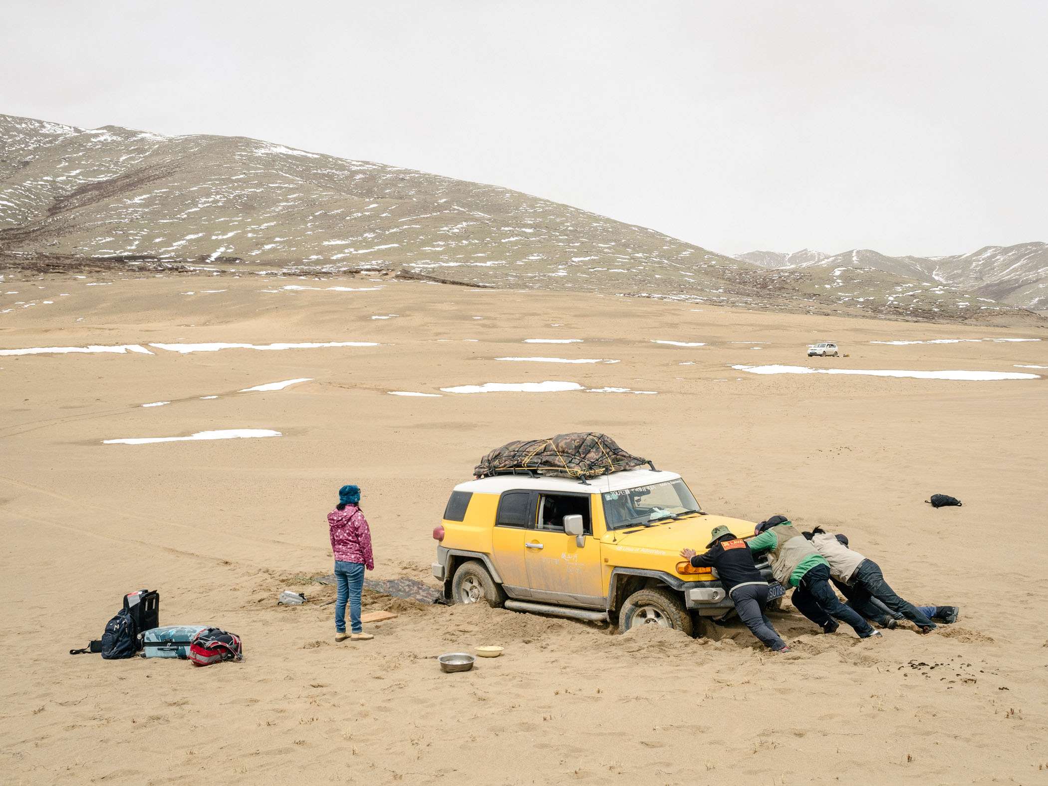
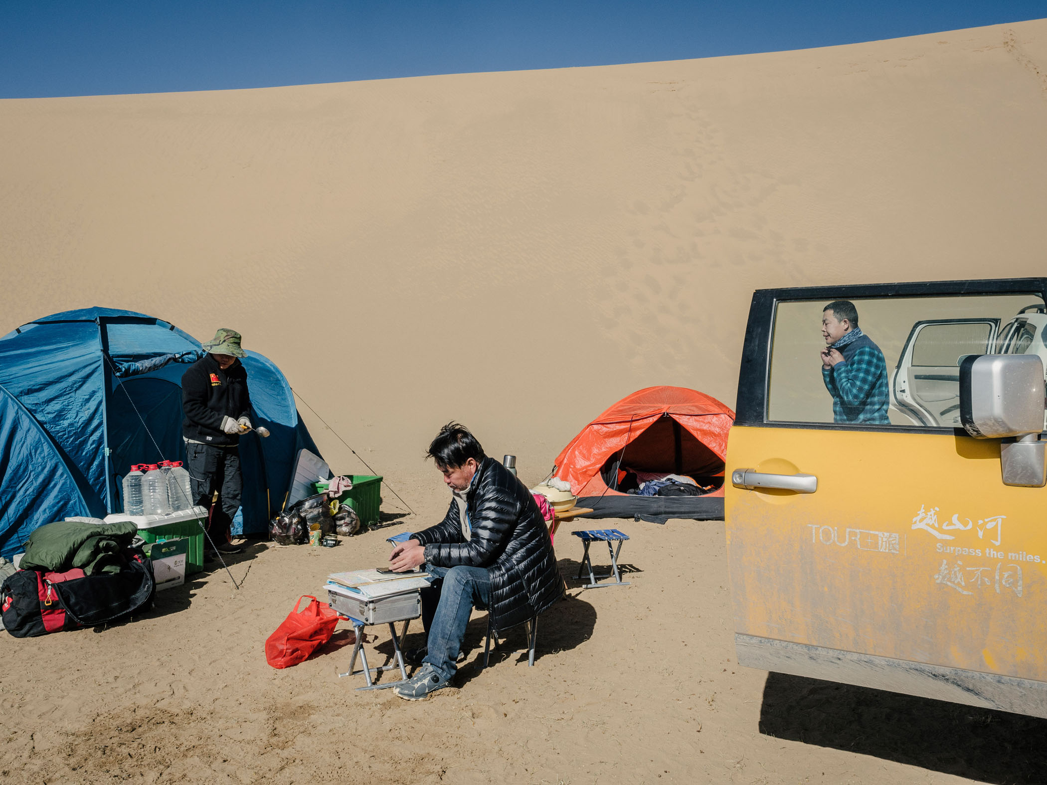
Ian travelled across the plateau with Yong Yang, Yong’s brother Hongbing, the expedition’s chef and co-driver, his childhood friend Captain Lu, the drone operator, Xiao Wei, his apprentice who assists and records much of Yang Yong’s observations and his wife Sisi, who handled the budget for the trip in two sport utility vehicles filled with camping and reesearch equipment.
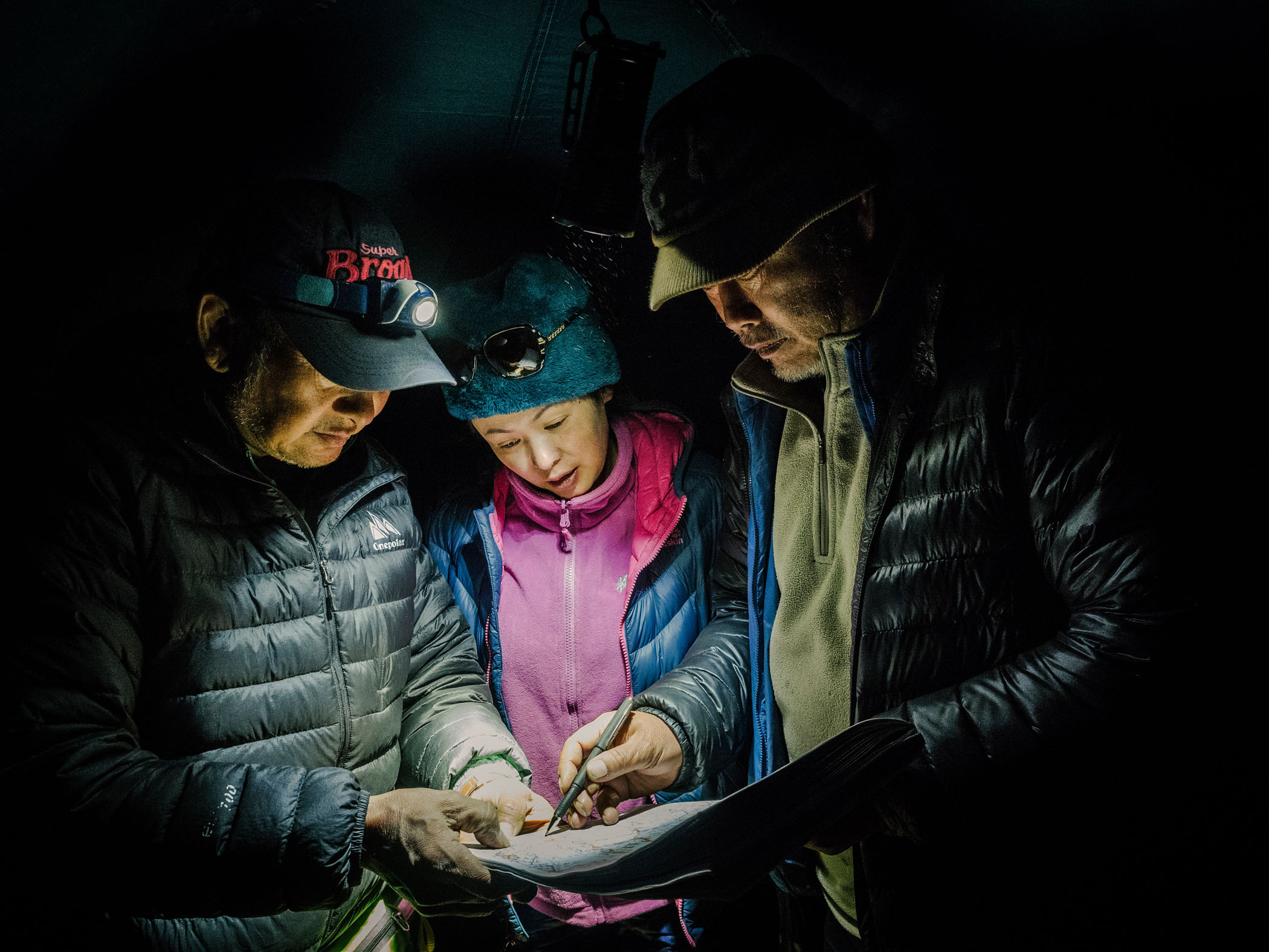
Yang Yong, his wife, Sisi and his friend and drone operator (affectionately called 'Captian Lu') plan the next day's travels using a topographical map.